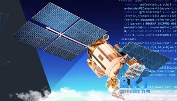
Earth observation has been practised for a long time now, but it was not very popular or open to the public. However, due to the sudden interest in space exploration and increased investment in satellites, earth observation has come into the spotlight. It has also been popularised due to easy access to data and technologies like machine learning, predictive analytics, and deep learning. Together with geospatial data, these technologies are bringing rise to sustainable initiatives like precision farming, emergency response, and air quality monitoring.
What is geospatial imagery analytics?
Experts can obtain and process picture and video data with geospatial imagery analytics. Businesses across different industries use this data to make better decisions and create contingency plans.
Data obtained using satellites and drones are fed to geospatial imagery analytics. The resulting pictures are delivered in vector and raster formats. Raster photos are a combination of different pixels of colour called bitmaps. On the other hand, vector photos are made up of math formulas.
Images collected by satellites and analysed are used to monitor the climate and disasters and even urban planning.
Geospatial imagery analytics covers five markets:
Imaging – is divided into photo and video
Technology – is divided into sections like Geographic Information System analysis, Geographic Position System, and remote sensing.
Application – is divided into healthcare, security, agriculture, engineering, big data analytics, mining, environmental monitoring, insurance, and energy.
Analysis – is divided into network and surface analysis and geo-visualization.
Geography – is divided into various continents.
Companies that deal in geospatial imagery analytics are now making satellites that can gather more accurate data. This market is steadily growing and is expected to reach the $9 billion revenue mark by 2026. It is constantly increasing due to the high demand from many different technical industries.
Satellite monitoring technologies for the IT market
In the IT sphere, numerous IT companies develop software for different industries leveraging the power of satellite imagery. However, creating a full-fledged solution is a complicated, time and cost consuming task. That is why companies that already have experience and expertise in satellite imagery collection and analytics can offer a helping hand to software developers.
For example, EOS Data Analytics is one company that offers satellite monitoring solutions for IT market. The company already has its software products that utilise the power of advanced satellite imagery analytics for various purposes across different industries, including farming and forestry. And for the IT companies that want to add value to their existing or developing products for the agricultural sector, EOSDA offers access to its products’ most valuable features via API integration. This way, the IT company can create an effective software solution without spending much less time and money developing a set of all the necessary features.
Geospatial analytics applications
The applications of geospatial data analysis cuts across many different industries such as ecology, agriculture, and forestry. Experts can use this technology to monitor the environment and create awareness of any disaster. Also, experts can use this technology to explore areas that are not easily accessible by scouts. Here are some use cases of spatial analysis applications created by EOSDA (Landviewer and EOS Crop Monitoring software):
Forest fires in Colorado
In late 2020, Colorado experienced a very devastating forest fire. The droughts, hot weather, and lack of rain worsened the situation. The absence of snow also aided the fire in spreading more quickly.
Landsat-8 captured the defecting fires and smoke on the 22nd of October 2020 near Granby. The damage of this wildfire could be accurately assessed based on multispectral data and images captured using Landsat-8.
Floods In Colombia
In October 2020, a devastating flood involving six rivers affected municipalities in Colombia and Magdalena and destroyed several homes and properties. This flood was captured on Sentinel-1 satellite images using band combinations of VH, VV, and VV/VH composites.
Damage Assessment in Agriculture via Satellite imagery
Tamil Nadu, one of the central Indian states with more than one million farmers, faced one of the worst droughts. To compensate for this drought, crop insurance was provided to help farmers overcome the economic crises. However, only 17% of the claims were paid in the planting and growing season three months. To fix this problem, India formed a crop insurance alliance with SwissRe, which used satellite images to detect and assess the amount of damage done by drought to plants such as rice.
Using Copernicus Sentinel-1, damage to plants due to drought was assessed and used as proof to ensure that the farmers could receive compensation from the Indian Agriculture Insurance Company. This guaranteed compensation to over 200,000 growers.


Comments